Sospel
Shuttle paradise in the back country of the Côte d'Azur
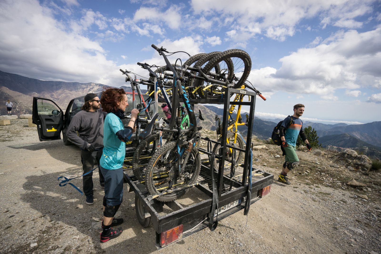
Just a short drive from the coast, all the trouble, show and shine of the Côte d'Azur is gone. Surrounded by the Alpes-Maritimes, the medieval village of Sospel lies quietly at the Bévéra river. Although spring is here, and the trails are in a great shape, not many tourists found their way to Sospel. We only see a few bikers on the main square, no one on the trails. Zoom and move the map below, click on the trails to get further information or download the gpx tracks. You can also open the region directly in the web-app and use it for navigation.
Open these trails directly in the web-app
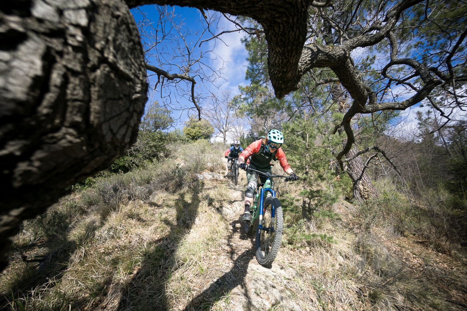
The ridge
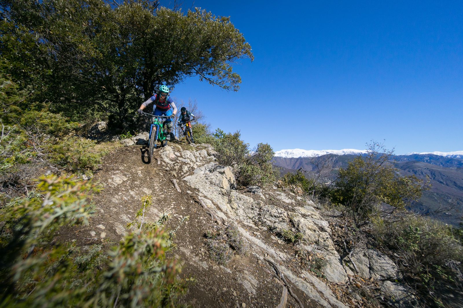
At the start of a trail called THE RIDGE, you have an awesome view to the Mediterranean Sea, but also into the higher mountains of the Alpes Maritimes. In spring they are still covered in snow. Later in the season, they are ready for some alpine adventures. Trail: trailguide.net/2750

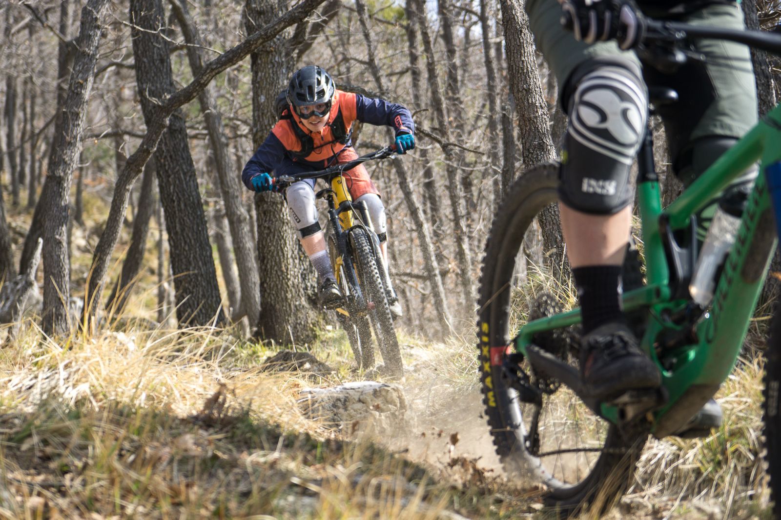
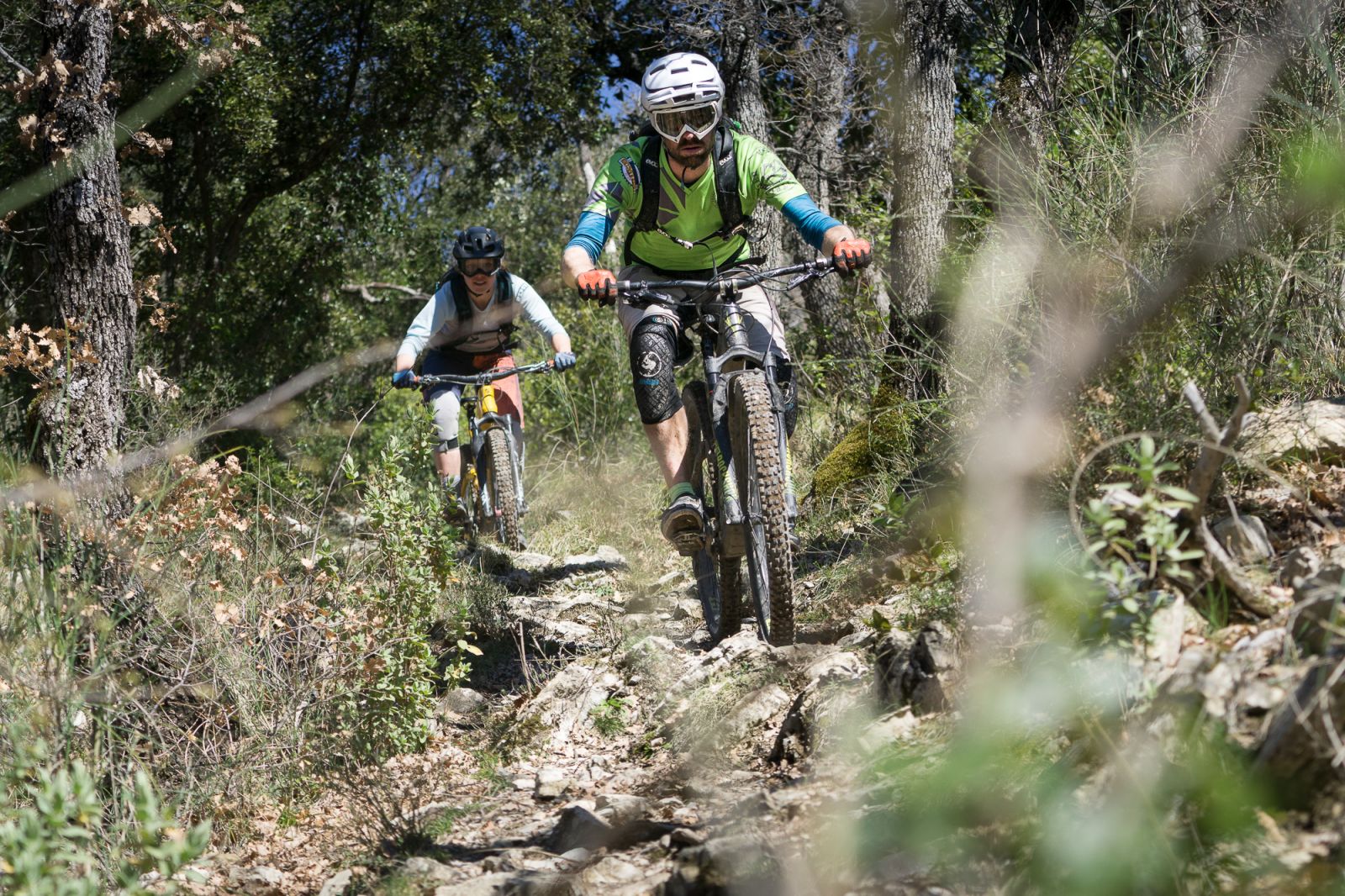
Holy Trail
But lets start with the trails directly around Sospel. They are a bit more on the wild and loose side. Trail: trailguide.net/2755
The Holy Trail is one of the most technical trails. Steep, switchbacks and loose rocks. Tanja Naber and Franzi Meyer are off the brakes on one of the fast parts inbetween.
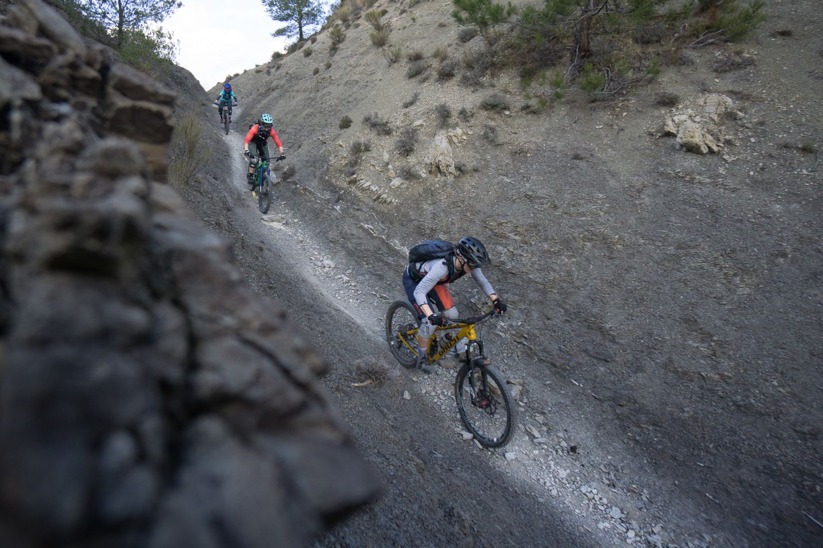
Calle Castagne
The further you come down, the thicker the forest becomes. Narrow valleys, little creeks, tricky sections. Trail: trailguide.net/2753
Cime du Bosc
But now let's go to our favourite side of Sospel. The trails from the Cime du Bosc. The shuttle brings you all the way to the start of the trails. Trail: trailguide.net2819
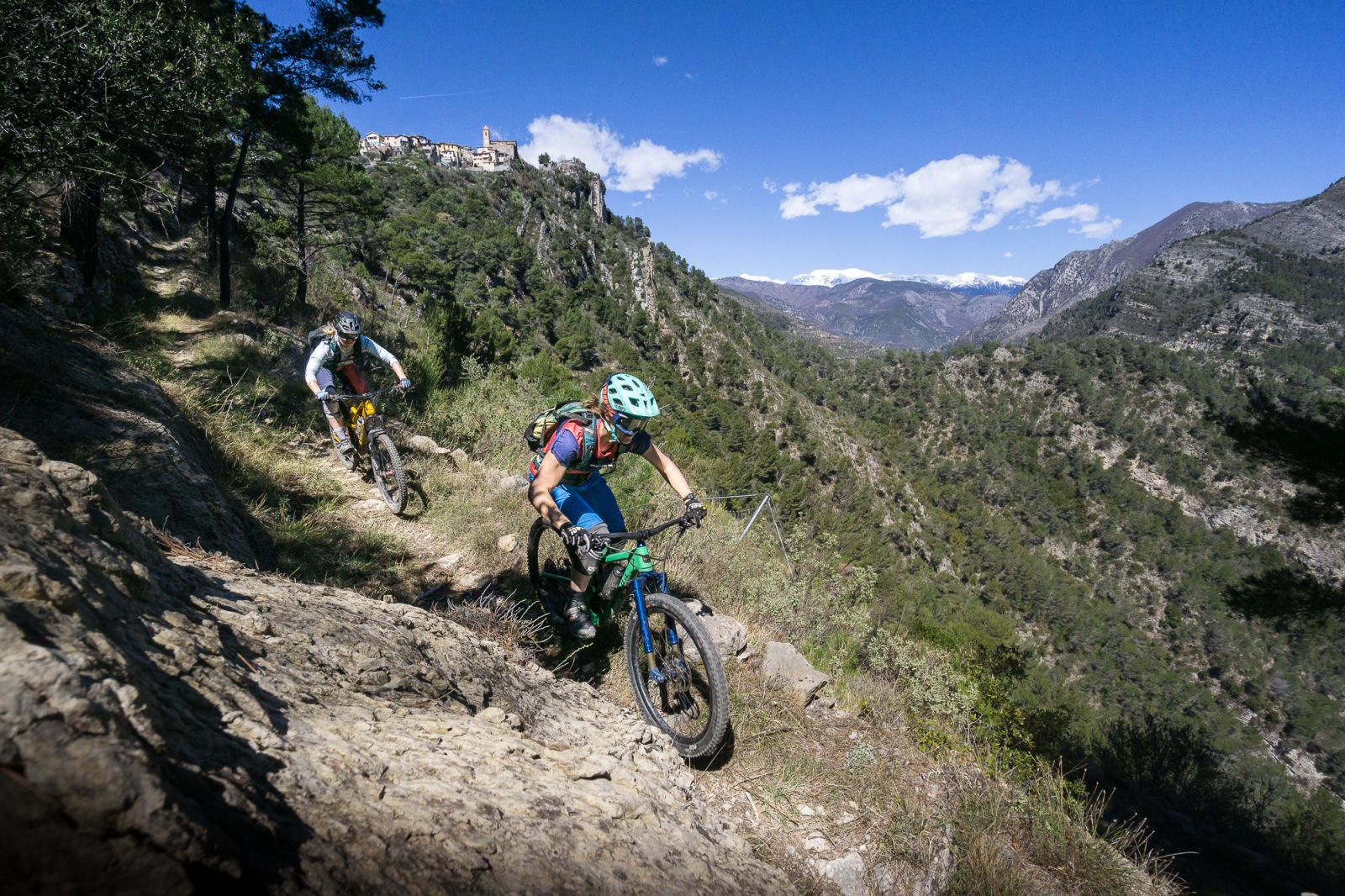
The Ridge
From the Cime du Bosc, trails start in all directions. Back to Sospel, to Breil-Sur-Roya, or south, all the way down to the Italian side. Trail: trailguide.net/2750
The Ridge
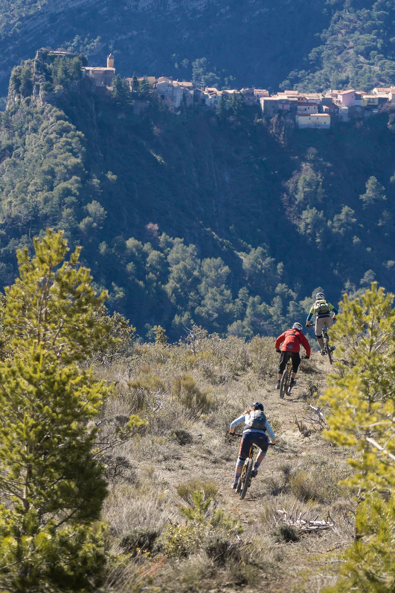
The trail starts steep, with some rocky offcamber sections, followed by an aweseome part with lots of corners. The ridge goes straight towards the little mountain village of Piene Haute, that you can see in the background. But then makes a sharp left turn back towards Breil-Sur-Roya. Trail: trailguide.net/2750
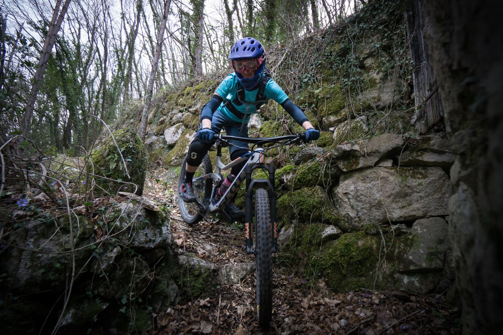
Cougle East
Breil-Sur-Roya is the end of several trails. The beautiful little village lies in a narrow valley at the Roya river. Franzi Meyer takes a switchback on a short part of an old roman road. Trail: trailguide.net/2751
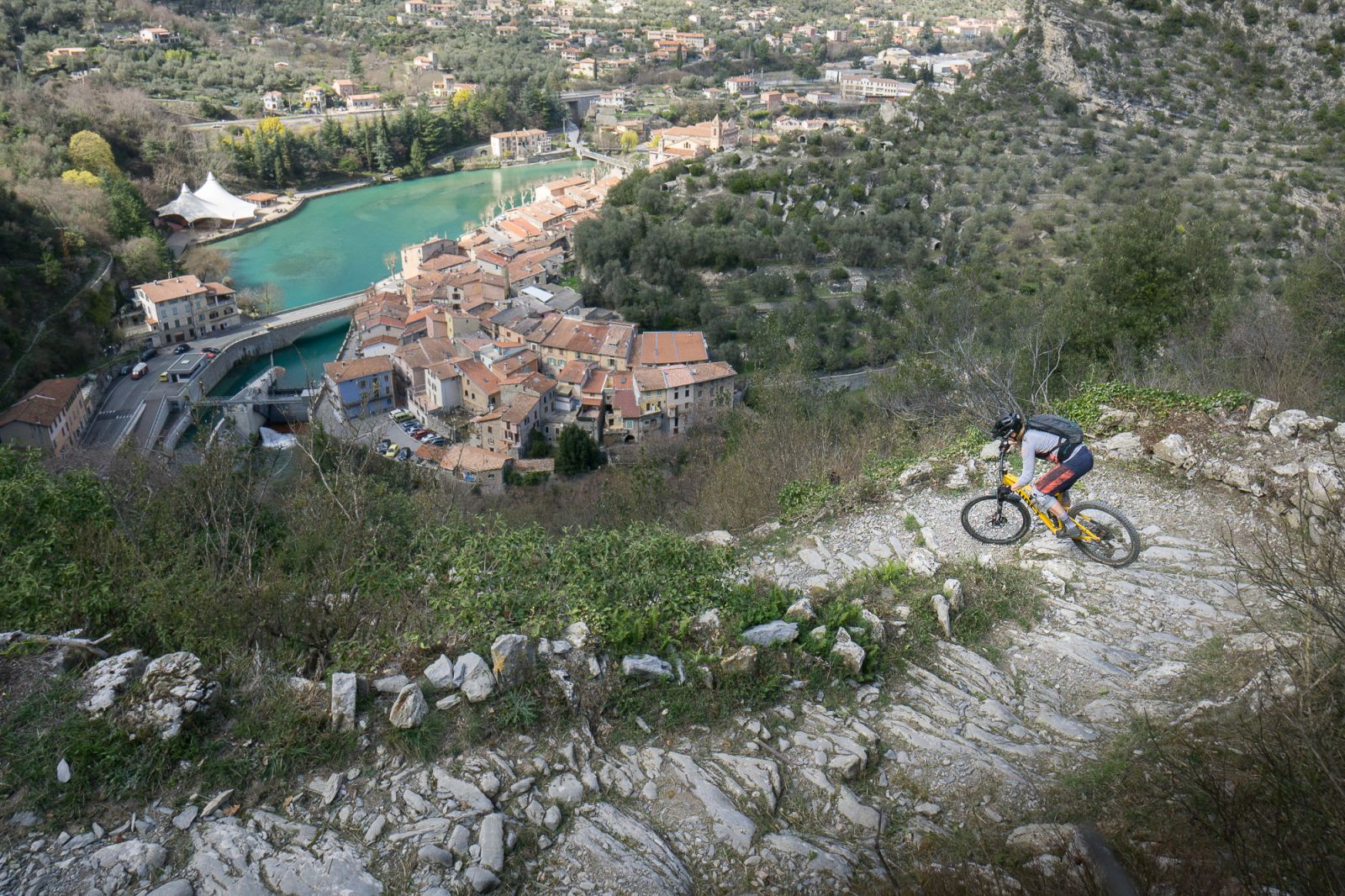
Breil-Sur-Roya
Relaxed life in the village. Breil-Sur-Roya is located at the road from Ventimiglia to Cuneo via the Col de Tende."
Panoramic
From the Cime du Bosc you can also take a long trail to the Italian side. The terrain changes all the time and descent is very versatile. Over 800hm and 7km later, you get the possibility for a nice Italian brioche and coffee. Trail: trailguide.net/2752
Panoramic
The trail becomes more technical towards the end. Looking back, you see the village of Piene Haute, sitting on a narrow ridge. Trail: trailguide.net/2752
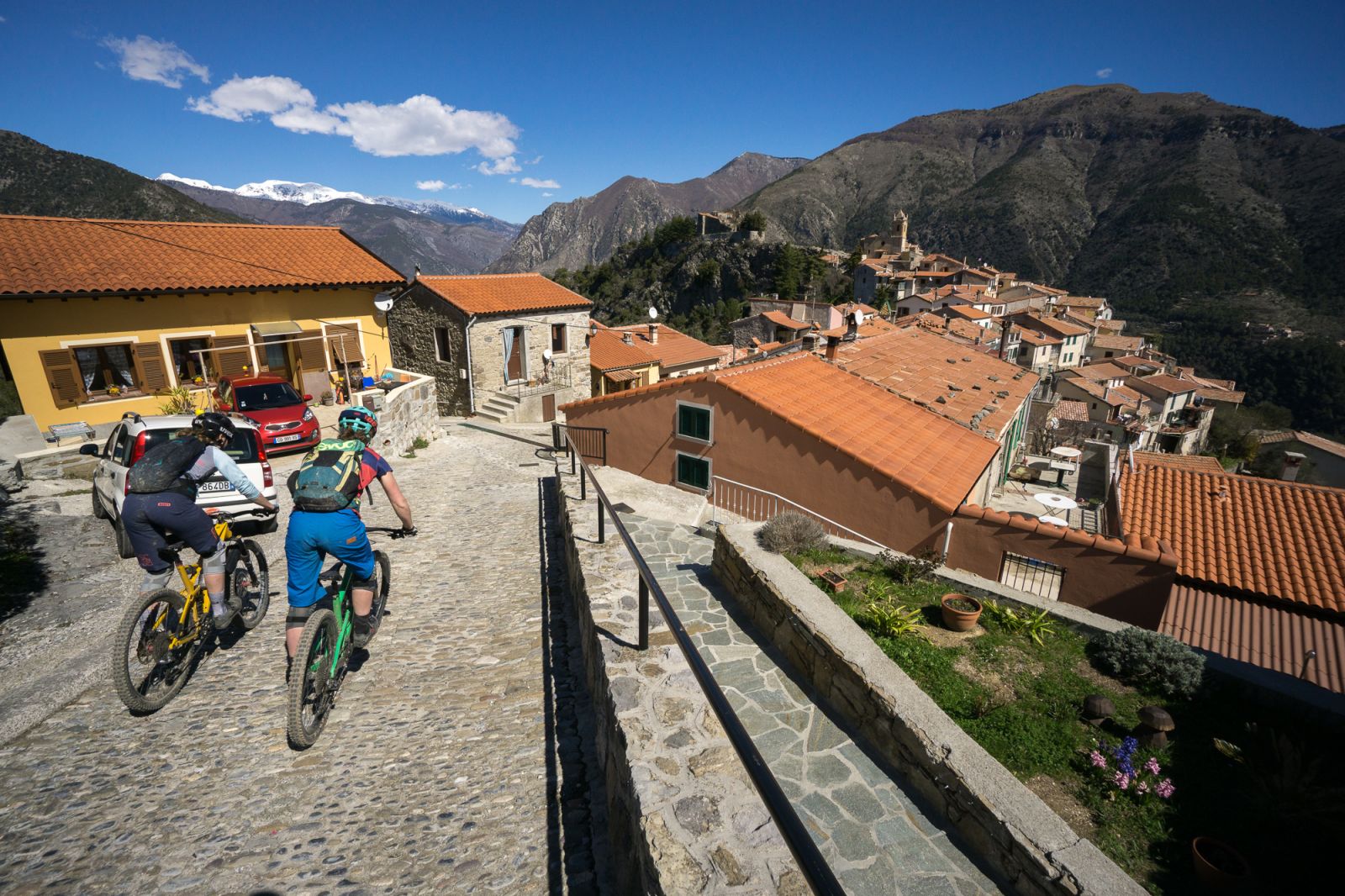
Col de l'Arma
From the Panoramic, you can turn left and go through Piene Haute. The houses crouch onto the narrow ridge. Here a trail with lots of switchbacks starts. It winds down the steep terrain below the village. Trail: trailguide.net/2820
Basséra Valley
To go back to Sospel, you can take a challenging trail through the Basséra Valley. It has not one really difficult section, but is constantly demanding the bikers concentration and work. That gets rewarded with an awesome flow-tech experience. Trail: trailguide.net/2821
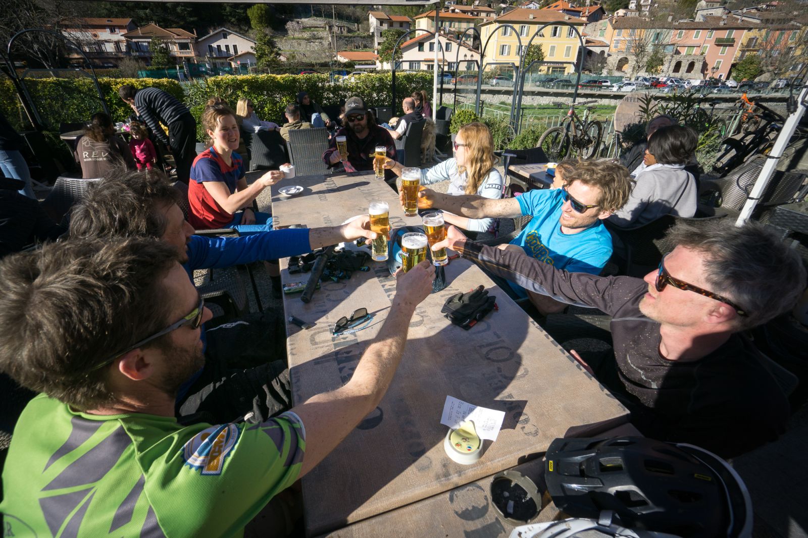
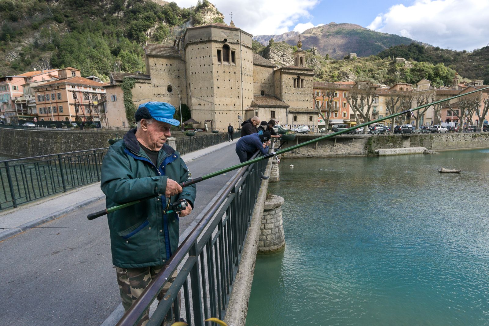
Sospel
Back to Sospel, there is nothing left than to enjoy the after ride, sitting outside in one of the bars at the Bévéra River. You find all trails on our free web-app trailguide.net. Open Trailguide on the smartphone and use it for navigation. Or download the GPX tracks for offline use or your gps device.